An Always-Current Map
Field data appears on the map as it arrives, so what you are looking at is the condition now — not an old snapshot.
Capability
The core of Tabloid — turning scattered data into a living picture of your field.
Field data appears on the map as it arrives, so what you are looking at is the condition now — not an old snapshot.
See terrain, assets, and environmental conditions in three dimensions, so the situation is far easier to read than on a flat map.
Replay what has already happened and look at what is forecast — useful for understanding patterns and preparing your response.
Get notified the moment conditions cross a safe threshold, so your team can act before the problem grows.
Tabloid brings your sources straight onto the map:
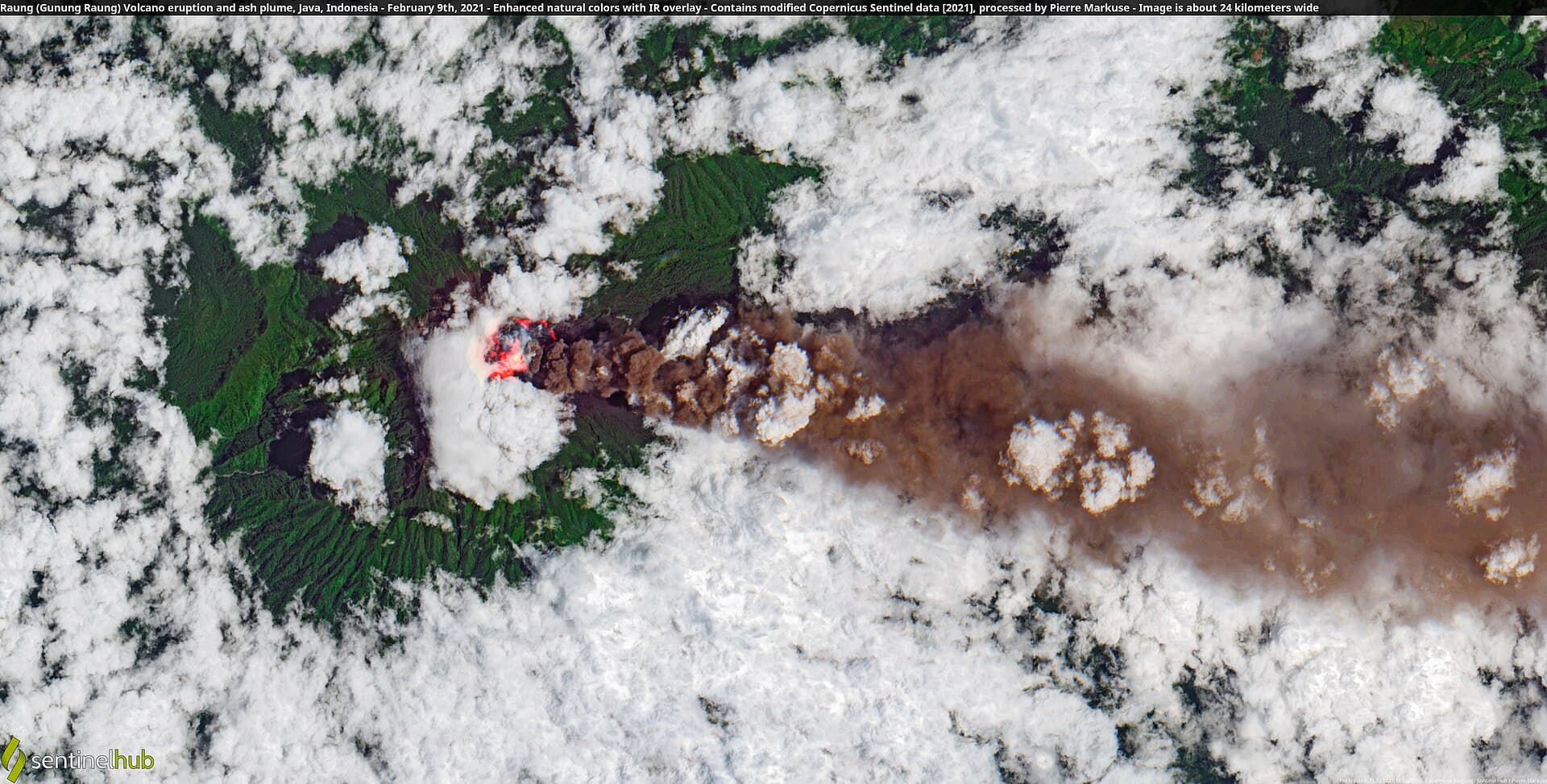
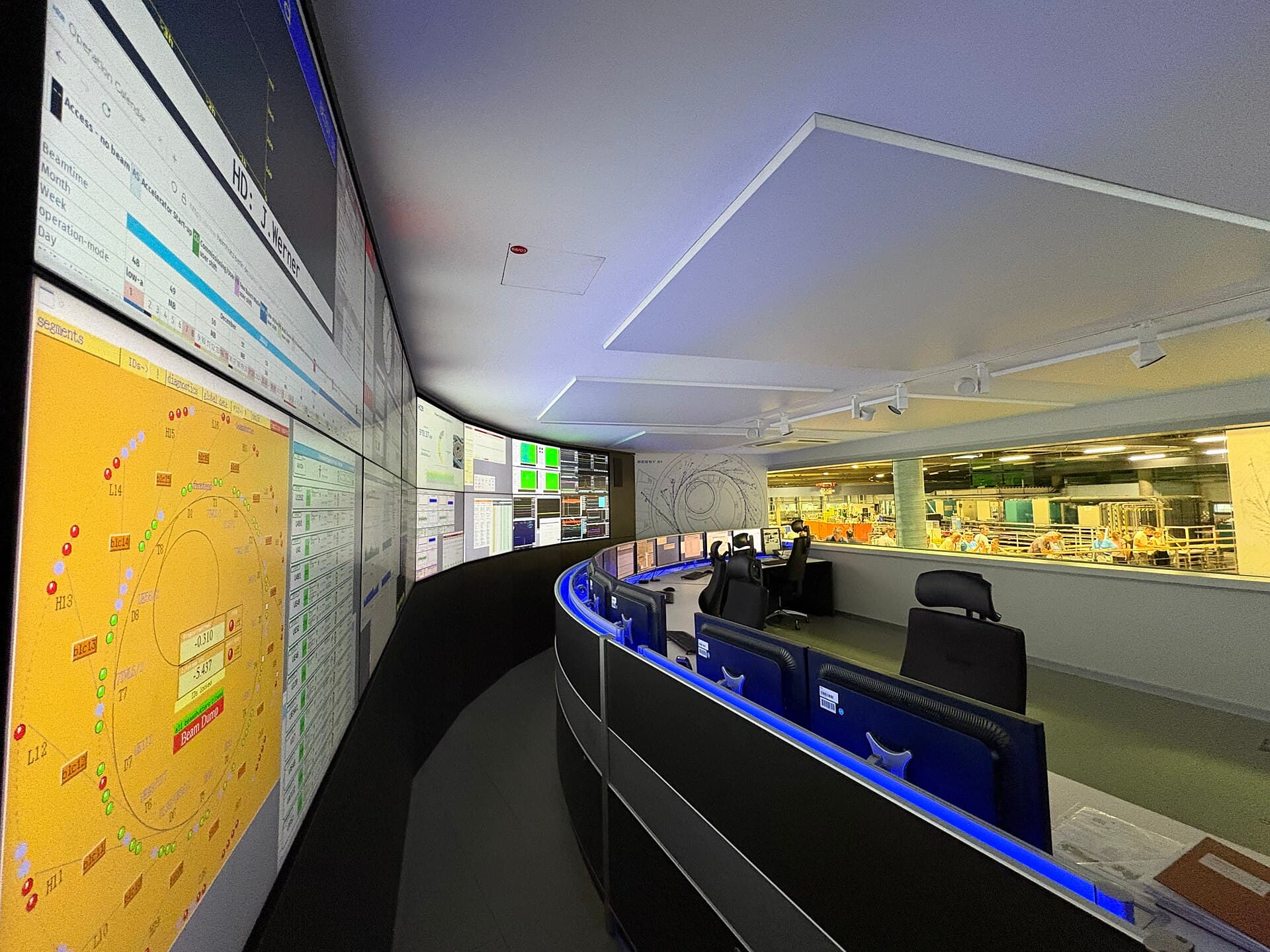
We will show the living map using the data sources you already run today.