Solutions
Every sector watches something different. The map stays one.
Tabloid adapts to the monitoring needs of each sector. Here is how it is used.
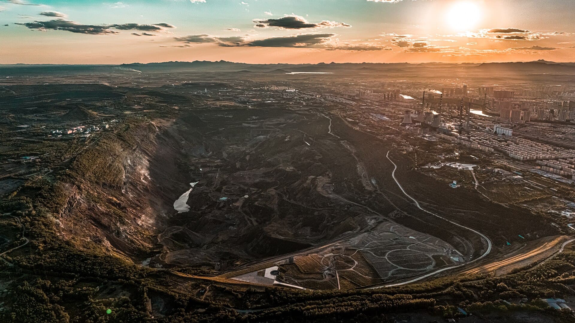
Mining
Watch pit conditions, hauling roads, and slope stability alongside on-site operational weather and air quality — on one map. Catch hazards early and keep the operation running safely.
What it watches
- Slope stability
- Hauling roads
- Air quality
- Rainfall
Utilities & Energy
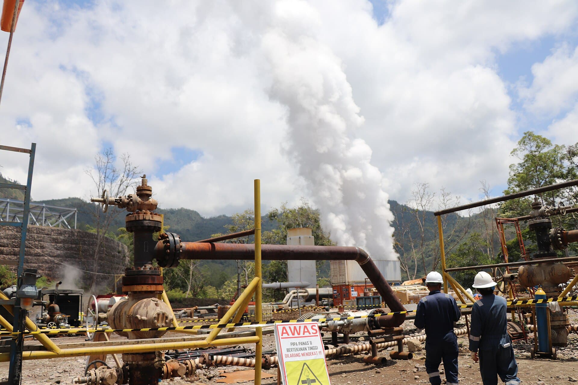
Watch widely dispersed infrastructure — transmission networks, power plants, or oil and gas facilities — together with the weather and environmental threats around them. See which points need attention before they become outages.
What it watches
- Transmission lines
- Power plants
- Lightning & severe weather
- Vegetation
Ports & Maritime Logistics
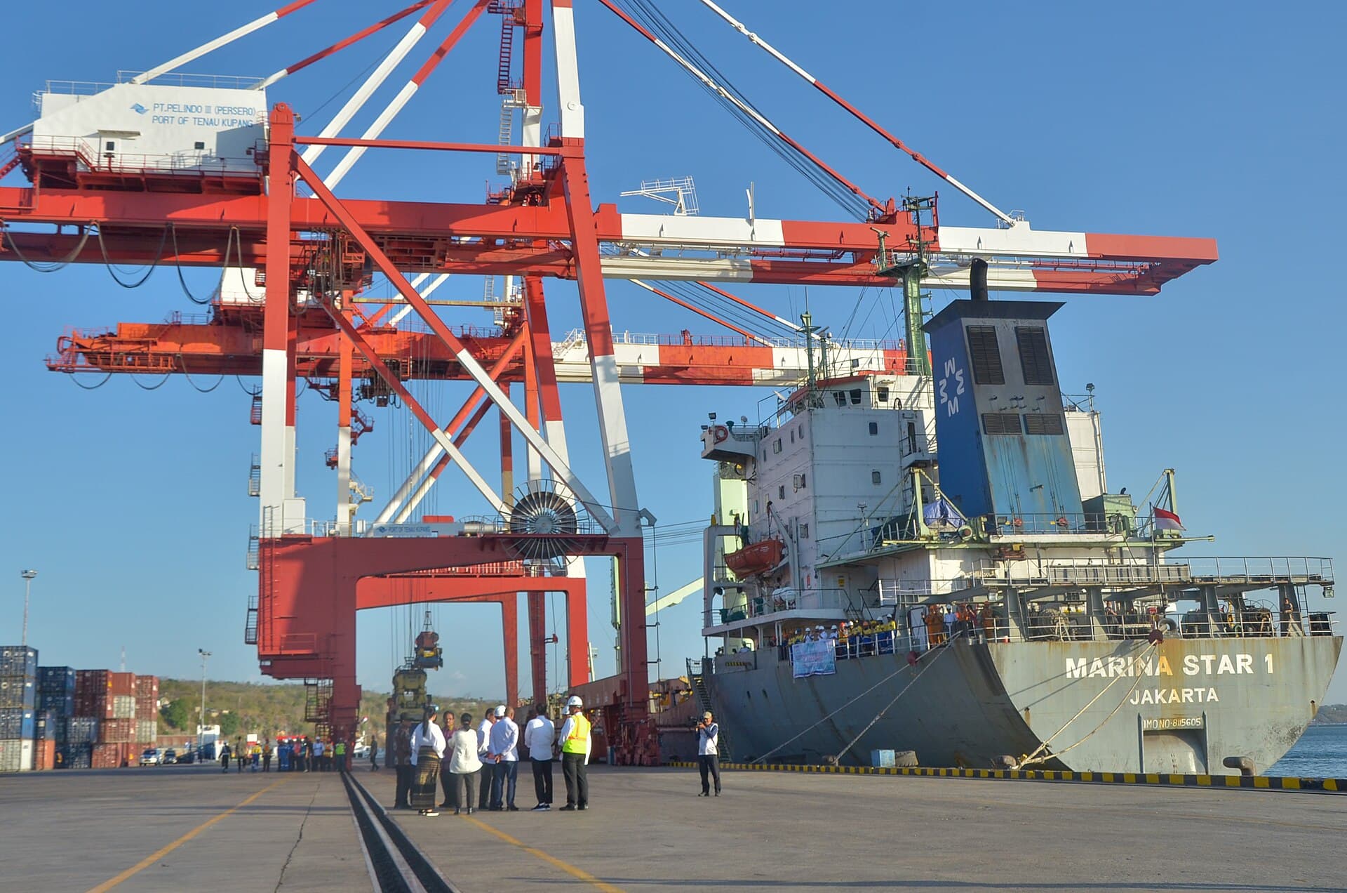
See sea conditions, wave height, and shipping lanes as they are. Support departure, berthing, and routing decisions that are safer and more on time.
What it watches
- Wave height
- Ocean currents
- Shipping lanes
- Port weather
Airports & Aviation
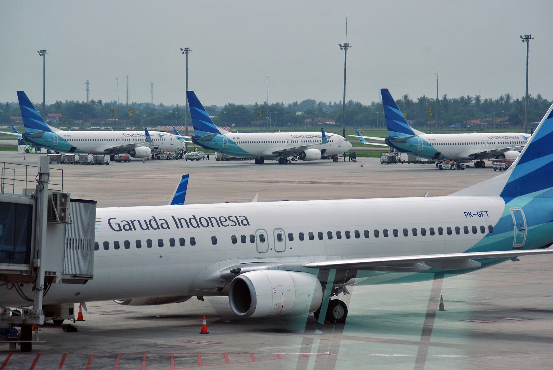
Monitor operational airport weather in real time to support smooth and safe flight operations.
What it watches
- Airport weather
- Volcanic ash
- Visibility
- Surface wind
Government & Disaster Response
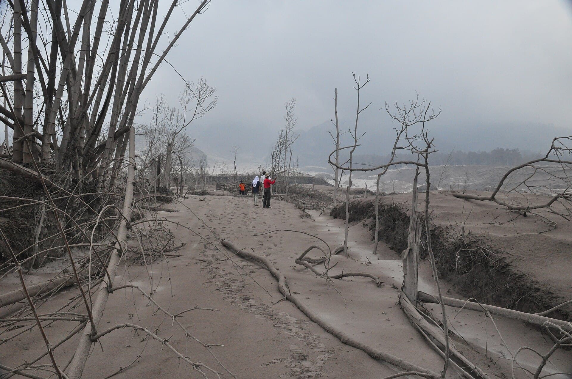
Gather every hazard — flooding, wildfire, extreme weather, volcanic activity — into one monitoring center for fast, coordinated decisions.
What it watches
- Flooding
- Wildfire
- Volcanoes
- Severe weather
Plantations & Forestry
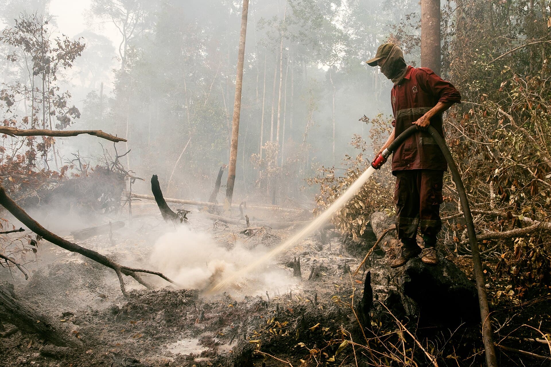
Detect potential land fires early, monitor weather and land conditions, and protect plantation assets from environmental risk.
What it watches
- Hotspots
- Fire risk level
- Smoke dispersion
- Land conditions
Let's talk about what your industry needs
Tell us what you need to watch, and we will show you how Tabloid puts it on the map.